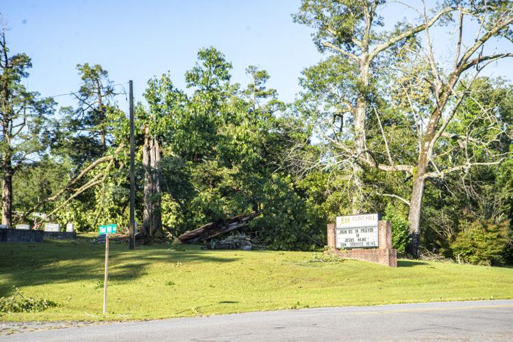
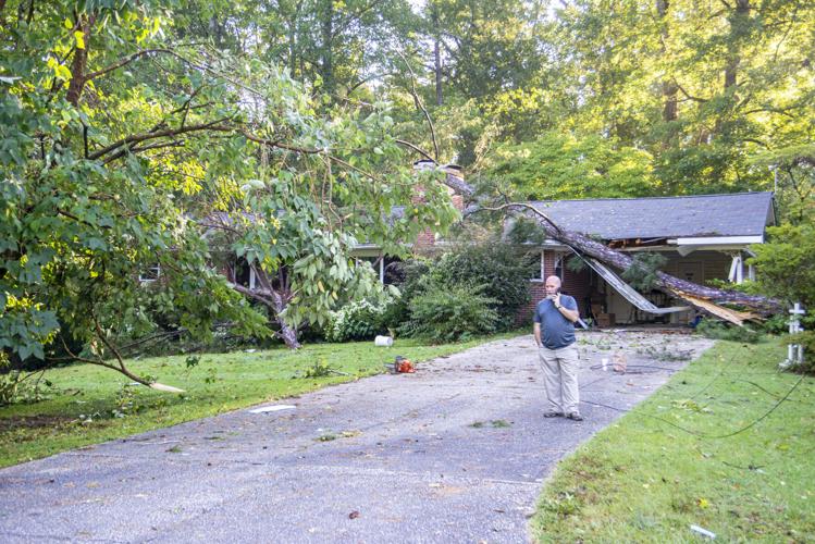
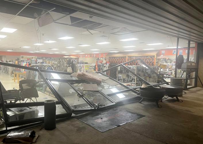
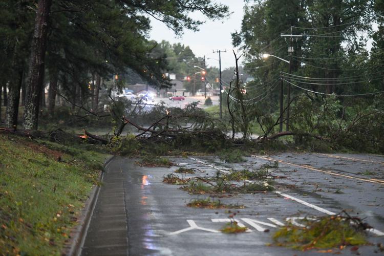
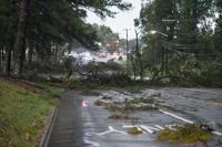
At around 6:15 p.m. on Thursday, August 29, an unexpected storm hit Alexander City. Straight-line winds downed trees, damaged buildings and left many residences and businesses without power for extended periods of time.
Downed powerlines were the source of major power outages throughout downtown Alexander City, along U.S. Route 280 and state Route 22, along Dadeville Road and in more rural areas. Downtown Alexander City reported the majority of outages, including the municipal complex, which disrupted city operations on Thursday night, including 9-1-1 services.
TORNADO WATCH 63 REMAINS VALID UNTIL 9 AM CDT THIS MORNING FOR
THE FOLLOWING AREAS

IN ALABAMA THIS WATCH INCLUDES 14 COUNTIES

IN CENTRAL ALABAMA

BARBOUR               BULLOCK               CHAMBERS
CLAY                  CLEBURNE              ELMORE
LEE                   LOWNDES               MACON
MONTGOMERY            PIKE                  RANDOLPH
RUSSELL               TALLAPOOSA

THIS INCLUDES THE CITIES OF ALEXANDER CITY, ASHLAND, AUBURN,
EUFAULA, FORT DEPOSIT, HEFLIN, LANETT, LINEVILLE, LOWNDESBORO,
MILLBROOK, MONTGOMERY, OPELIKA, PHENIX CITY, ROANOKE, TROY,
TUSKEGEE, UNION SPRINGS, VALLEY, AND WETUMPKA.
...WIND ADVISORY NOW IN EFFECT UNTIL 7 PM CDT THIS EVENING...
...FREEZE WARNING REMAINS IN EFFECT FROM 10 PM THIS EVENING TO 10 AM
CDT TUESDAY...

* WHAT...For the Wind Advisory, west winds 10 to 20 mph with gusts
up to 40 mph. For the Freeze Warning, sub-freezing temperatures as
low as 23 in the north and 28 in the south expected.

* WHERE...All of Central Alabama

* WHEN...For the Wind Advisory, until 7 PM CDT this evening. For the
Freeze Warning, from 10 PM this evening to 10 AM CDT Tuesday.

* IMPACTS...Gusty winds will blow around unsecured objects. Trees
could be blown down and a few power outages may result. Frost and
freeze conditions could kill crops, other sensitive vegetation and
possibly damage unprotected outdoor plumbing.

PRECAUTIONARY/PREPAREDNESS ACTIONS...

Winds this strong can make driving difficult, especially for high
profile vehicles. Use extra caution.

Secure outdoor objects.

Take steps now to protect tender plants from the cold.

To prevent freezing and possible bursting of pipes they should be
wrapped, drained, or allowed to drip slowly.

Those that have in ground sprinkler systems should drain them and
cover above ground pipes to protect them from freezing.

&&