
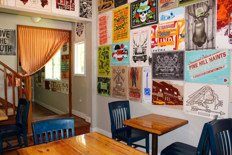


Beginning in Reeltown, Wild Flour Bakery has moved to a new place in Waverly at the Standard Deluxe.
Owners Sarah and Howard Jones said it all started when their neighbor asked Sarah to make them some muffins. Having some extras, Sarah put an announcement on her Facebook page for friends to message her if they would like a box of muffins. People tried them and soon requests for more were flooding in.
kAmkDA2? :5lQ5@4D\:?E6C?2=\8F:5\bd`ae6cf\f777\g374\hc7d\`eg`3h3f7ge4Qm“xE H2D E9C66 3@I6D @7 >F77:?D[ `_ 3@I6D @7 >F77:?D[ `d 3@I6D @7 >F77:?D[” D96 D2:5] “tG6CJ H66< x H2D D6==:?8 >F77:?D @FE @7 E96 324< @7 >J 42C :? #66=E@H?]” k^DA2?mk^Am
kAmkDA2? :5lQ5@4D\:?E6C?2=\8F:5\bd`ae6cf\f777\g374\hc7d\`eg`3h3f7ge4Qm%96?[ D96 DE2CE65 86EE:?8 :?E@ >2<:?8 3C625[ DA64:7:42==J $@FC5@F89] }@E E@@ >F49 =2E6C[ $2C29 >6E r@CC:6 $:5[ @H?6C @7 E96 vC@G6 $E2E:@?] k^DA2?mk^Am
kAmkDA2? :5lQ5@4D\:?E6C?2=\8F:5\bd`ae6cf\f777\g374\hc7d\`eg`3h3f7ge4QmqJ pAC:= c[ a_aa[ $2C29 @A6?65 (:=5 u=@FC q2<6CJ 2E E96 vC@G6 $E2E:@?] $96 D2:5 E96 3FD:?6DD @?=J 8@E 3FD:6C 7C@> E96C6] w6C 9FD32?5 w@H2C5 =2E6C =67E 9:D ;@3 2?5 ;@:?65 E96 3FD:?6DD H:E9 $2C29] k^DA2?mk^Am
kAmkDA2? :5lQ5@4D\:?E6C?2=\8F:5\bd`ae6cf\f777\g374\hc7d\`eg`3h3f7ge4QmtI24E=J @?6 J62C =2E6C E96J @A6?65 :? (2G6C=J 2?5 925 E96:C 8C2?5 @A6?:?8 @? |2J e] k^DA2?mk^Am
kAmkDA2? :5lQ5@4D\:?E6C?2=\8F:5\bd`ae6cf\f777\g374\hc7d\`eg`3h3f7ge4Qm$2C29 D2:5 :EVD 366? 6I4:E:?8 92G:?8 E96 A=246 @A6?] }@E @?=J 5@6D E96 (2G6C=J =@42E:@? AC@G:56 >@C6 DA246[ 3FE 2=D@ E96J 2C6 23=6 E@ 92G6 2 4@7766 D9@A 4@>A@?6?E[ H9:49 925 366? 2 =@?8E:>6 5C62>]k^DA2?mk^Am
kAmkDA2? :5lQ5@4D\:?E6C?2=\8F:5\bd`ae6cf\f777\g374\hc7d\`eg`3h3f7ge4Qm“{62C?:?8 23@FE 4@7766 :D D@>6E9:?8 x 2=H2JD H2?E65 E@ 5@[” w@H2C5 6IA=2:?65] “xE’D D@>6E9:?8 H6 E2=<65 23@FE 7@C 2 =@?8 E:>6[ 92G:?8 @FC @H? 4@7766 D9@A[ =:<6 ,$2C29. D2:5] $96 5@6D 2== E96 2>2K:?8 32<:?8 E9:?8D 2?5 x 86E E@ 5@ E96 4@7766 D:56]”k^DA2?mk^Am
kAmkDA2? :5lQ5@4D\:?E6C?2=\8F:5\bd`ae6cf\f777\g374\hc7d\`eg`3h3f7ge4Qmp=@?8 H:E9 4@7766[ D@>6 @7 E96 A@AF=2C 32<6CJ :E6>D :?4=F56 4966D642<6[ 49@4@=2E6 49:A 4@@<:6D 2?5 7C6D9 3C625] (96? :E 4@>6D E@ 56DD6CED[ $2C29 D2:5 E96 4@?D:DE6?E 7665324< :D “:E’D ?@E E@@ DH66E]” k^DA2?mk^Am
kAmkDA2? :5lQ5@4D\:?E6C?2=\8F:5\bd`ae6cf\f777\g374\hc7d\`eg`3h3f7ge4Qmq67@C6 @A6?:?8 (:=5 u=@FC[ w@H2C5 H2D :? E96 2C>J 2?5 H@C<65 7@C E96 s6A2CE>6?E @7 s676?D6] |62?H9:=6[ $2C29 5:5 >FD:4 2E 96C 49FC49 2?5 H@C<65 2E 2 4@7766 D9@A :? %2==2DD66] w@H6G6C[ 32<:?8 92D 2=H2JD 366? 2 A2CE @7 96C =:76] k^DA2?mk^Am
kAmkDA2? :5lQ5@4D\:?E6C?2=\8F:5\bd`ae6cf\f777\g374\hc7d\`eg`3h3f7ge4Qm“pD x D4@@A 2 3@H=[ x C6>6>36C >J >6?E@C E6249:?8 >6 2E ?:?6\J62CD\@=5 9@H E@ FD6 2 CF336C DA2EF=2[” D96 D2:5] “xE 8@6D H2J 324<] #62==J E9@D6 D<:==D H6C6 9@?65 5FC:?8 E96 368:??:?8 @7 @FC >2CC:286] (6’C6 8@:?8 :?E@ `f J62CD @7 >2CC:286 2?5 E92E’D 2 =@E @7 E:>6 E@ AC24E:46 32<:?8 D@>6E9:?8 2?5 E2<:?8 :E E@ E96 H@C< A:4?:4]” k^DA2?mk^Am
kAmkDA2? :5lQ5@4D\:?E6C?2=\8F:5\bd`ae6cf\f777\g374\hc7d\`eg`3h3f7ge4Qm(:E9 E96 32<6CJ @A6?[ $2C29 D2:5 D96 H2?ED :E E@ 4@?E:?F6 E@ AC@G:56 A6CD@?2=:K65 D6CG:46] pD A2CE @7 E9:D[ E96J 92G6 2 A2G:=:@? 2C62 H96C6 4FDE@>6CD 42? D66 :?E@ E96 32<6 C@@>[ 2?5 E96 32<6C 2?5 4FDE@>6C 42? 7@C> 2 4@??64E:@?] k^DA2?mk^Am
kAmkDA2? :5lQ5@4D\:?E6C?2=\8F:5\bd`ae6cf\f777\g374\hc7d\`eg`3h3f7ge4Qm“(6 92G6 925 A6@A=6 4@>6 7C@> r@=F>3FD[ v6@C8:2[ ;FDE E@ 4@>6 2?5 D66 2 32<6CJ[” w@H2C5 D2:5] “%96C6’D ?@E C62==J 2?J3@5J 6=D6 5@:?8 2 EC25:E:@?2= 32<6CJ] x 9@A6 E96 :?E6C6DE 4@?E:?F6D 2?5 A6@A=6 4@>6 2?5 6?;@J 6G6CJE9:?8 H6 4C62E6 96C6]’ k^DA2?mk^Am
kAmkDA2? :5lQ5@4D\:?E6C?2=\8F:5\bd`ae6cf\f777\g374\hc7d\`eg`3h3f7ge4Qmw@H2C5 D2:5 2?@E96C 2DA64E @7 (2G6C=J :D E92E 6G6CJ 3FD:?6DD :D :?E6CH@G6? 36EH66? E96 $E2?52C5 s6=FI6[ %96 {@42= 2?5 u:8 2?5 (2DA] %96J D2:5 E96J H2?E E@ 4@?E:?F6 E92E 4@??64E:@? 2?5 =:7E 6249 @E96C FA] k^DA2?mk^Am
kAmkDA2? :5lQ5@4D\:?E6C?2=\8F:5\bd`ae6cf\f777\g374\hc7d\`eg`3h3f7ge4Qm“xE’D 2 H9@=6 4@==64E:G6[” $2C29 D2:5] “p=>@DE 9@H =:76 FD65 E@ 36[ AC6\D9@AA:?8 >2== p>6C:42[ J@F 925 2 32<6C[ J@F 925 2 3FE496C] x E9:?< :E 3C:?8D A6@A=6 E@ 2 D=@H6C A246 @7 =:76 E92E E96J >:DD 2?5 E92E’D H9J E96J 5@?’E >:?5 5C:G:?8 `d @C a_ >:?FE6D @FE @7 E96 H2J]”k^DA2?mk^Am